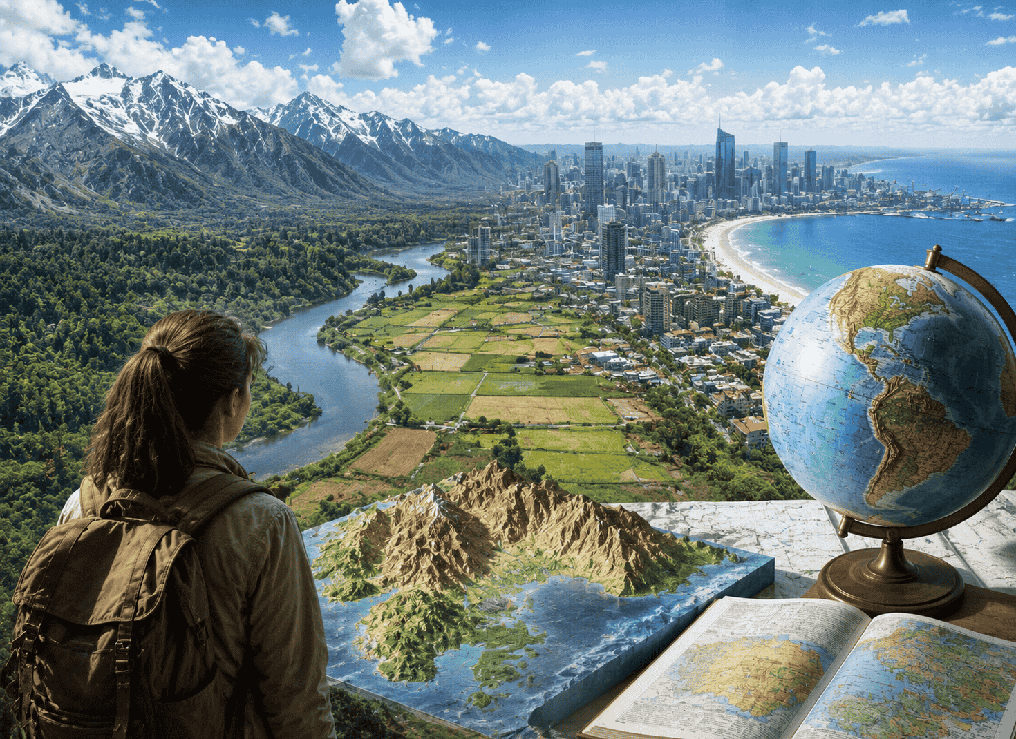
Ask ten people what geography means, and most will say the same thing: maps, capital cities, maybe rivers and mountains. That answer isn’t wrong. It’s just decades out of date.
Modern geography studies far more than where things sit on a map. It studies why a hurricane forms over warm water, why a coffee shop succeeds on one corner and fails on another, and why a disease spreads faster through one neighborhood than the one next door. It even shapes how Amazon decides where to build its next warehouse.
This guide gives you a complete, accurate definition of geography, breaks down its real branches and core ideas, and shows why the field matters more in 2026 than it ever has before.
The Simple Answer: What Geography Means
Geography is the study of Earth’s places, the things found in them, and how those things connect through space. Here’s the working definition geographers actually use today: geography is the study of where things are located, why they’re located there, and how that location affects everything else around it.
The word comes from ancient Greek: geo means “earth,” and graphein means “to write.” Put together, geography literally means “writing about the earth.” A scholar named Eratosthenes coined the term around 200 BC, which is why he’s often called the father of geography.
That third part is the piece most people miss. Geography isn’t just about location. It’s about consequences.
The Three Branches of Geography (Not Just Two)
Most explanations stop at two branches: physical and human. That split was accurate for most of the 20th century. It’s incomplete now.
Modern geography runs on three branches, and the third one is reshaping the entire field.
Physical Geography
Physical geography studies the natural world. It covers landforms, climate, oceans, soil, plants, and animals.
A physical geographer might track how a coastline erodes over fifty years. Another might study why certain regions get hit by hurricanes more often than others. This branch overlaps heavily with earth science.
Human Geography
Human geography studies people. It covers culture, population, cities, economies, and politics, all examined through the lens of location.
A human geographer might map where a specific ethnic group settled in a city and why. Another might study how trade routes shaped the rise of a particular economy. This branch overlaps with sociology, economics, and political science.
Technical Geography
Technical geography is the newest branch, and it’s the one most older definitions leave out entirely.
This branch builds the tools other geographers use: Geographic Information Systems (GIS), remote sensing, cartography, and satellite imagery. A technical geographer doesn’t just study a place. They build the software and maps that let everyone else study it too.
Technical geography didn’t get serious academic recognition until recently, but it now drives most of the field’s growth. Every time you open a navigation app or check a weather radar, you’re using technical geography.
The Five Themes of Geography
Educators introduced these five themes in 1984 to make geography easier to teach and easier to understand. They still hold up today, and they give you a fast mental framework for analyzing any place on Earth.
Location asks where something is. This splits into two types: absolute location (exact coordinates, like 40.7128° N, 74.0060° W for New York City) and relative location (position compared to other places, like “north of Mexico”).
Place describes what makes a location unique. This includes physical traits like climate and terrain, plus human traits like language and architecture.
Human-Environment Interaction examines how people affect their surroundings and how surroundings affect people. Building a dam, farming a hillside, or designing a city’s flood defenses all fall under this theme.
Movement tracks how people, goods, and ideas travel between places. Migration patterns, trade routes, and the spread of the internet all count as movement.
Region groups areas that share common traits. Regions can be formal (a country with legal borders), functional (a metro area connected by commuting patterns), or simply perceived (calling somewhere “the Midwest” even without an official boundary).
Use this quick mnemonic to remember the order: Lovely Places Have Many Regions.
Geography vs. Geology: What’s the Difference?
These two words get mixed up constantly, and the confusion makes sense given how similar they sound.
Geology studies the physical Earth itself: rocks, plate tectonics, and the processes that formed the planet over millions of years.
Geography studies a much wider range of patterns, including human activity, on the surface of the Earth.
Here’s the cleanest way to separate them: geology asks how the Earth was built. Geography asks how people and places interact with the Earth as it exists right now.
A geologist examines a rock layer to determine its age. A geographer might examine how a river shaped settlement patterns along its banks. Both might study the same river. They’re asking completely different questions about it.
A Short History of Geography (Without the Textbook Dryness)
Geography didn’t start as a university subject. It started as a survival skill.
The earliest known world map dates back to 9th-century-BC Babylon. Ancient people needed to know where water, food, and safe land could be found, and mapping was how they recorded that knowledge.
Eratosthenes formalized the discipline around 200 BC. He didn’t just name the field. He calculated Earth’s circumference using nothing but shadows, geometry, and the angle of the sun, and he landed remarkably close to the modern measurement.
During the Middle Ages, Islamic scholars carried the torch forward. Muhammad al-Idrisi produced detailed world maps that European explorers later relied on. Without that groundwork, the Age of Discovery happens much later, if at all.
European explorers like Columbus and Cook expanded the world’s known geography through the 16th and 17th centuries. By the 1800s, geography had become a formal university subject, taught alongside the sciences in cities like Paris and Berlin.
The 20th century brought airplanes, satellites, and computers. Suddenly geographers could photograph the entire planet from above and store that data digitally. That shift gave birth to the third branch: technical geography.
The Big Idea Behind Geography: Tobler’s First Law
If geography has one unifying principle, this is it.
In 1970, geographer Waldo Tobler proposed what’s now called Tobler’s First Law of Geography: “Everything is related to everything else, but near things are more related than distant things.”
That sounds obvious once you read it, but it explains an enormous amount about the world. Nearby homes tend to have similar property values. Neighboring countries tend to share economic ties. Local weather patterns affect the town next door more than they affect a town five hundred miles away.
This law is why geographers can build predictive models. If you know how a wildfire is spreading at one location, you can reasonably predict its next moves nearby, because proximity drives most geographic patterns.
What Geographers Actually Do (Real Examples)
Geography rarely gets its own job title on a business card, which is part of why people underestimate the field. Here’s what it looks like in practice.
Public health analysts use geography to track disease outbreaks. During an outbreak, mapping where cases cluster helps officials direct resources before the spread accelerates.
Urban planners use geography to decide where new housing, roads, and public transit should go, based on population density and existing infrastructure.
Site selection analysts at retail and logistics companies use geography to choose locations for new stores or warehouses. This is the exact kind of analysis that determines where a company like Amazon builds its next distribution center.
Climate scientists use geography to track shifting weather patterns, rising sea levels, and changing agricultural zones across decades of satellite data.
Emergency managers use geography to plan evacuation routes and predict which areas face the highest risk during floods, fires, or hurricanes.
None of these professionals necessarily call themselves “geographers.” But every one of them is doing geography.
Why Geography Matters More Than Ever in the AI Era
Here’s where most explanations of geography stop short, and where the field is actually moving fastest right now.
When a 2023 viral list ranked jobs AI was most likely to replace, “geographer” showed up on it. Professional geographers pushed back hard, and the data backs them up.
AI doesn’t replace geographic thinking. It depends on it.
The Rise of GeoAI
A new specialty called GeoAI combines geographic information systems with machine learning. GeoAI tools can classify satellite images, predict flood zones, and model how cities will grow, all faster than a human analyst working alone.
But GeoAI still needs geographers to ask the right questions, validate the results, and interpret what the data actually means for real decisions. AI can spot a pattern. It takes a geographer to explain why the pattern exists and what to do about it.
The Numbers Behind the Growth
The geospatial analytics market was valued at roughly $38 billion in 2024. Projections put it at $118 billion by 2034, driven by smart cities, AI-powered mapping, and real-time logistics tracking.
More than 70% of spatial data job postings now list AI skills as a requirement. That’s not a future trend. That’s the current hiring bar.
What Employers Want Now
The geographers and GIS professionals thriving in this market share a specific skill combination: spatial thinking paired with technical fluency. That typically means proficiency in GIS software, working knowledge of Python, and comfort interpreting machine-learning output.
Entry points into the field have also widened. Many GIS roles no longer require a traditional geography degree. Certificates, bootcamps, and strong project portfolios increasingly compete with four-year degrees, especially for technical geography roles.
The bottom line: geography isn’t shrinking in relevance. It’s becoming the connective layer between AI’s raw computing power and the real-world decisions that power is meant to support.
Frequently Asked Questions
What is geography in simple terms?
Geography is the study of where things are on Earth, why they’re there, and how that location affects everything connected to it, from weather patterns to human behavior.
What are the main branches of geography?
Geography has three main branches: physical geography (the natural world), human geography (people and society), and technical geography (the tools and technology used to study both, including GIS and remote sensing).
What’s the difference between geography and geology?
Geology studies the physical composition and formation of the Earth itself, like rocks and tectonic plates. Geography studies the broader patterns of places, people, and environments across Earth’s surface.
Who is considered the father of geography?
Eratosthenes, a Greek scholar from around 200 BC, is widely credited as the father of geography. He coined the term and calculated Earth’s circumference using basic geometry.
What are the five themes of geography?
The five themes are location, place, human-environment interaction, movement, and region. Educators introduced this framework in 1984 to make geography easier to teach and apply.
Is geography still a useful field to study with AI advancing so quickly?
Yes. AI increases the demand for geographic skills rather than replacing them. The geospatial analytics market is projected to grow from roughly $38 billion in 2024 to $118 billion by 2034, and most spatial data jobs now require AI-related skills alongside traditional geographic training.
The Bottom Line
Geography is the science of “where” and “why there.” It connects physical landscapes, human behavior, and the technology that maps both, into one discipline built around a simple idea: location shapes almost everything.
That idea hasn’t gotten less relevant with time. It’s gotten more relevant. Every satellite launched, every AI model trained on spatial data, and every company deciding where to build next, all of it runs through the same questions geographers have asked since Eratosthenes first measured the Earth: where is it, and why does it matter that it’s there?